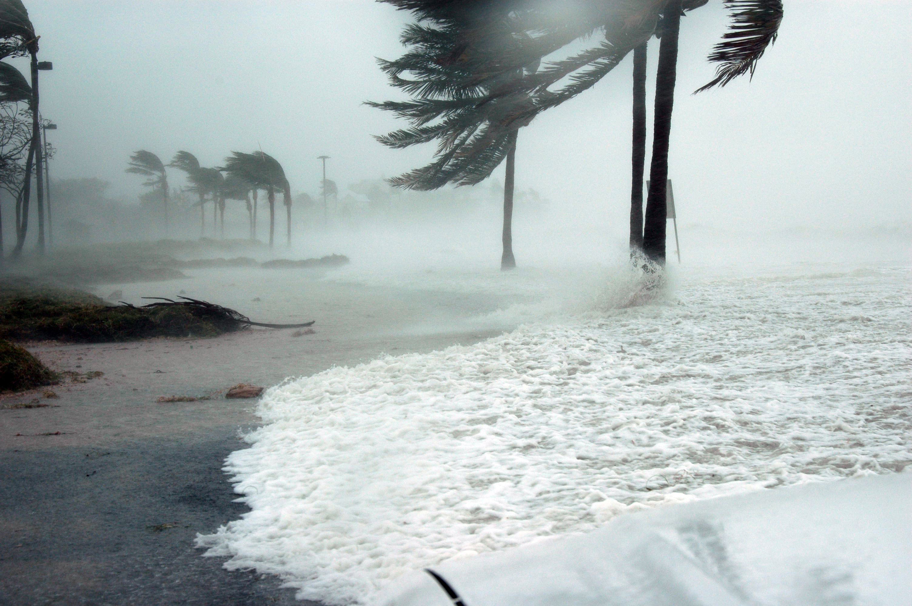
Heavy rain has already raised flooding concerns in parts of Pasco County as Tropical Storm Isaias strengthens in the Gulf of Mexico and heads toward the northern Gulf Coast.
The National Weather Service issued a flood advisory Wednesday evening, Oct. 7, for southwestern Pasco and Pinellas counties after thunderstorms brought heavy rainfall to the area. Forecasters warned that another 1 to 2 inches of rain could cause additional flooding in low-lying areas.
The advisory, issued at 7:22 p.m., was scheduled to remain in effect until 10:15 p.m. Wednesday. Communities identified in the alert included New Port Richey, Port Richey, Holiday, Beacon Square, Elfers, Jasmine Estates and Bayonet Point.
Earlier Wednesday, the weather service reported that as much as 6 inches of rain had fallen in some locations across southwestern Pasco and northern Pinellas counties.
Meanwhile, Tropical Storm Isaias had maximum sustained winds of 65 mph as of the National Hurricane Center's 7 p.m. CDT update. The storm was moving east-northeast at 8 mph and was expected to become a hurricane Thursday, Oct. 8.
The National Hurricane Center forecasts landfall along the northern Gulf Coast late Friday, Oct. 9, or early Saturday, Oct. 10.
Heavy rain and coastal flooding threaten Pasco
Although Isaias is not forecast to make landfall in the Tampa Bay area, its influence on regional weather could bring additional rain, coastal flooding and hazardous marine conditions.
The National Weather Service in Tampa Bay warned Wednesday that coastal water levels could rise